Land change in Guam from 2006 to 2020
Land change in Guam from 2006 to 2020
Using the Google Earth Engine (GEE) JavaScript API to Examine Wildfire Severity
Team Member:
Mina Wei, Vanchy Li
Affiliation:
Clark University
Course:
GEOG293
Team Members:
Mina Wei Vanchy Li
Affiliation:
Clark University
Course:
GEOG293
Introduction:
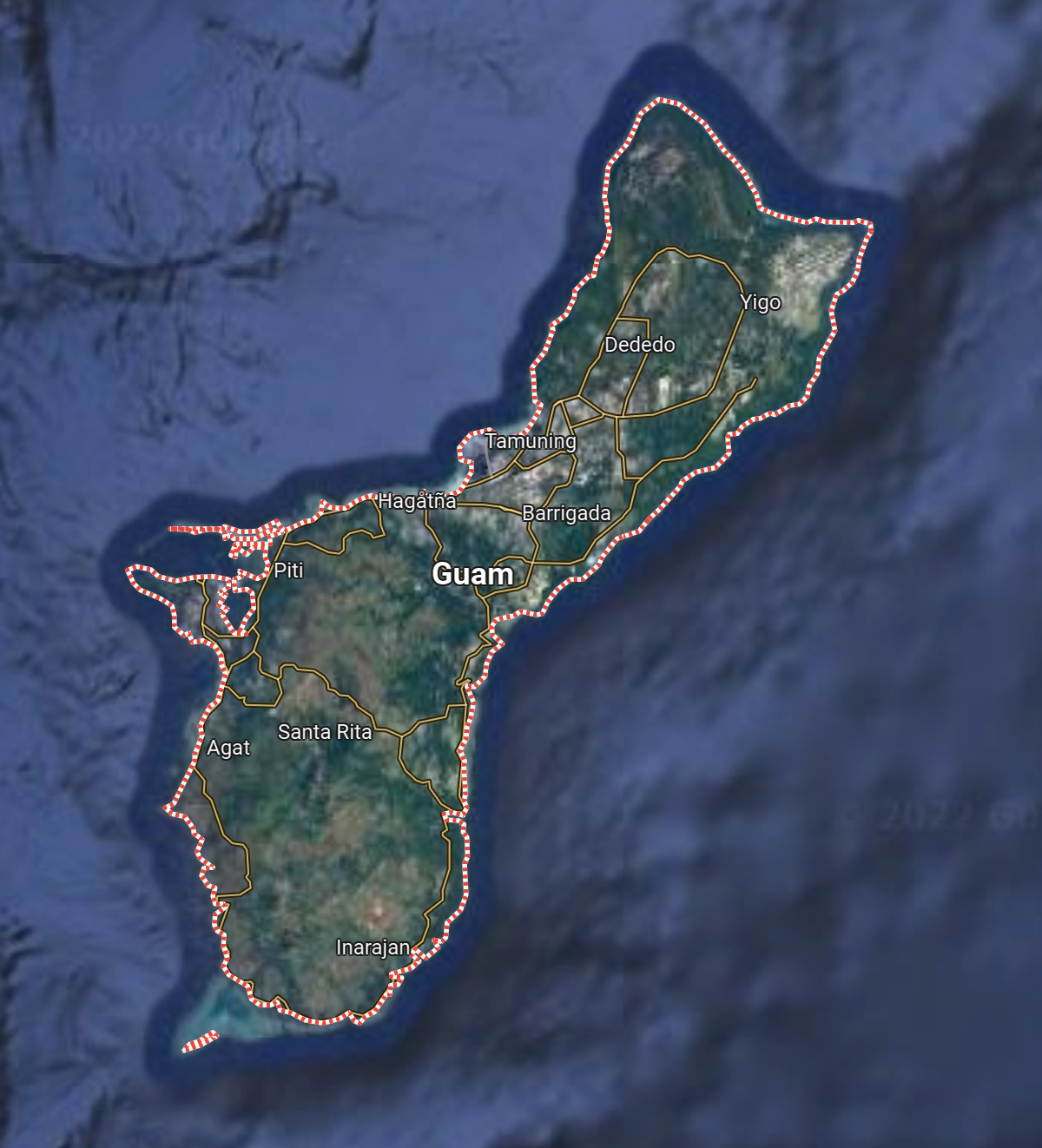
Studying land change is an essential form of research for land conservation. This type of research is significant for small islands like Guam, which are environmentally fragile areas that are difficult to restore if the environment is overly damaged. Land conservation is necessary because irrational land development can lead to soil erosion, which can damage the local environment. Focusing on past land changes will allow us to better predict and plan for future land use. Our study will use GEE, R, TerrSet, and ArcGIS Pro to analyze local data. We will compare Guam in 2006, 2014, and 2022 and analyze the land change in Guam now by comparing maps.
Project Deliverables:
Contact
please contact me at my email address
Email: m.wei2@columbia.edu